Department of Transportation
Press Releases - Department of Transportation
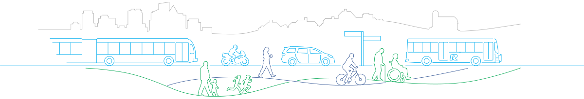
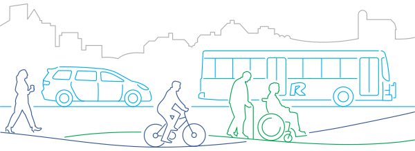
MCDOT Launches Education Program About Innovative Pedestrian and Bikeway Infrastructure; Seeks Public Input
For Immediate Release: Tuesday, May 22, 2018
Using a $60,000 2018 grant from the National Capital Region Transportation Planning Board (TPB) Transportation Land-Use Connections (TLC) Program, MCDOT has developed educational materials to inform travelers about new, safety infrastructure in the County’s Bicycle and Pedestrian Priority Areas, such as separated bike lanes, bike boxes, green pavement markings and floating bus stops. The centerpiece is a new website, montgomerycountymd.gov/lookout, that features an interactive graphic and videos with examples of the new infrastructure, and tips for cyclists, pedestrians and drivers. A fold-out brochure is also available at MCDOT’s Commuter Stores or by emailing Commuter Services. MCDOT is seeking public feedback on the education materials. Review the website and take an online survey.
The new infrastructure is designed to make it safer for all travelers by designating space for cyclists, improving drivers' ability to see cyclists, and clarifying where people, including transit users, can walk and cross streets or bikeways safely.
The website includes instructions for drivers, cyclists and pedestrians in using the new road markings and traffic patterns, information about signs and signals and general safety tips. Will also be using teams of outreach ambassadors who will explain the new infrastructure at various locations where it has been installed.
The types of new infrastructure are shown below:

Floating Bus Stops: A dedicated waiting and boarding area for bus passengers between the bike lane and the travel lanes that “floats” away from the curb and is not directly attached to the sidewalk. The boarding areas are islands – they are separated from the sidewalk by a bike lane.

Green Pavement: Areas exclusively for use by cyclists. Drivers and pedestrians should avoid entering areas with green markings except to carefully crossover where necessary.

One- and Two-Way Separated Bike Lanes: Separated from traffic using some form of vertical and/or horizontal barrier, such as flexposts, curbs or planters.
 Pocket Lanes: Short areas of bike lanes that allow cyclists to continue straight ahead without having a conflict with right turning vehicles at the intersection.
 Two-Stage Turn Queue Box: A designated space for cyclists to wait when turning left, or in some cases, right, from a bike lane at a multi-lane intersection.
 Mixing and Conflict Zones: Alert cyclists and drivers to use caution when crossing each other’s paths ahead of a turn or at a driveway.

Bike Box: A designated area at the front of a traffic lane that provides cyclists a safe and visible way to get ahead of vehicles at a red light, helping all traffic move more efficiently once the light changes.

 Parking Along a Bike Lane: In certain areas, parking lanes may be located next to the bike lanes. Flexposts are often used to make the separation between the bike and vehicle lanes visible.
The TLC Program provides short-term, consultant-based technical assistance to local jurisdictions as they deal with the challenges of integrating land-use and transportation planning at the community level.
Learn more online.
Release ID: 18-112
Media Contact: Esther Bowring 240-777-7170